“Brace Yourself: This Winter’s Biggest Storm is Coming!”
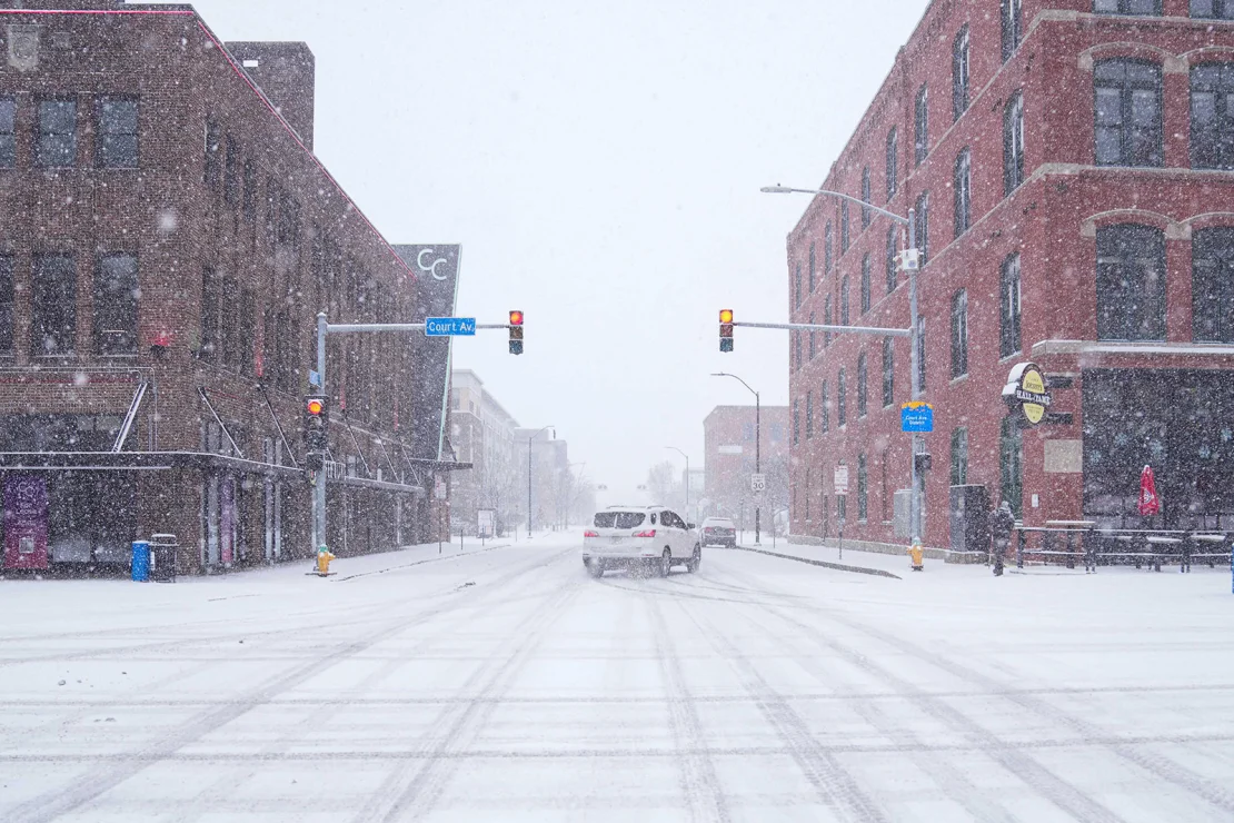
A massive winter storm is set to sweep across more than 1,300 miles of the U.S., bringing heavy snow, hazardous ice, rain, and severe thunderstorms through the weekend and into next week.
While winter weather has mostly been confined to northern states this season, this storm will break the pattern, delivering treacherous conditions from the Plains to the East Coast, even in areas unaccustomed to such weather.
Regions too warm for snow and ice won’t be spared, as severe thunderstorms—some hitting areas still recovering from December’s deadly storms—are expected. The Winter Storm Severity Index warns of major disruptions, dangerous or impassable roads, and widespread closures through Sunday in parts of the Central U.S.

What to expect from upcoming winter weather
The winter storm will take shape Saturday afternoon in the Plains, powered by moist air surging north from the Gulf of Mexico. By evening, it will unleash snow, rain, and an icy mix across the Plains as it strengthens and expands.
By Sunday morning, the storm will bring a wintry mix to the Mississippi Valley and parts of the Midwest, spreading into the Ohio Valley and Southeast later in the day before reaching the East Coast Sunday night into Monday.
While the hardest-hit regions are becoming clearer, pinpointing who gets snow, ice, or rain—and in what amounts—remains uncertain. Even small shifts in the storm’s path could dramatically alter outcomes, with some areas starting as snow before transitioning to ice or rain, and others seeing the reverse.
This powerful system could dump over a foot of snow and deliver enough ice to cause power outages, just as the coldest temperatures of the season follow in its wake.
Snow will bury some areas
The storm is set to blanket a wide swath of the U.S. with several inches of snow from late Saturday through Monday, stretching from parts of Kansas and Nebraska to the East Coast.
The heaviest snow will likely fall in the coldest regions, including parts of Missouri, Illinois, Indiana, Ohio, and West Virginia. Areas with warmer air may see reduced snow totals as sleet and ice take over instead.
St. Louis, where a foot of snow in a single day has only happened four times, could see that milestone reached on Sunday. Snowfall totals across Missouri and nearby states could range from just an inch to over a foot, depending on the storm’s exact path.
How much snow is coming in the next one–to-three days?
Unlike earlier storms this winter, Minnesota, Wisconsin, Michigan, and Upstate New York are expected to see little to no snow due to the storm’s more southerly track. However, some lake-effect snow may develop in Michigan and New York as shifting winds occur both before and after the storm.
Treacherous ice to come
The greatest threat of dangerous ice will be just south of the snowiest areas, with significant icing possible from Kansas and Missouri through the central Appalachians, and potentially into parts of Maryland and Delaware.
Travel could become “nearly impossible” in the areas with the heaviest ice, multiple National Weather Service offices have warned.
Ice accumulation of 0.25 inches or more is possible, particularly in southern Missouri, southern Illinois, southern Indiana, and nearly all of Kentucky.
Even a thin layer of ice – as little as 0.10 inches – can transform roads into slick, dangerous surfaces, causing slips and vehicle accidents. Thicker ice, over 0.25 inches, can weigh down trees and power lines, snapping branches or bringing down electrical wires. Heavy ice could make roads impassable, severely impacting travel.
The ice storm that hit the Central U.S. last January left thousands without power and created perilous conditions for first responders.
Widespread power outages are possible if significant icing occurs, especially if power crews can’t safely navigate hazardous roads. This could create a life-threatening situation for those without heat as extremely cold temperatures follow.
Damaging thunderstorms and soaking rain
On the storm’s warmer southern side, rain and embedded thunderstorms will spread across much of the South, with some of these storms becoming severe, particularly on Sunday afternoon.
The Storm Prediction Center has issued a level 2 of 5 severe thunderstorm threat for parts of Texas, Louisiana, Arkansas, and Mississippi on Sunday. Damaging winds and hail are the primary risks, but tornadoes are also possible. A tornado outbreak, including multiple EF3-rated tornadoes, struck the South in late December. Heavy rain and storms could lead to flooding, especially in the Southeast where the heaviest rainfall is expected.
The storm will finally move off the East Coast late Monday and weaken overnight.
However, by Tuesday, a new challenge arrives: Arctic cold. Temperatures will plummet as much as 30 degrees below normal across the eastern U.S., with frigid air sticking around for some areas through mid-January, locking in any snow and ice left behind by the storm.